


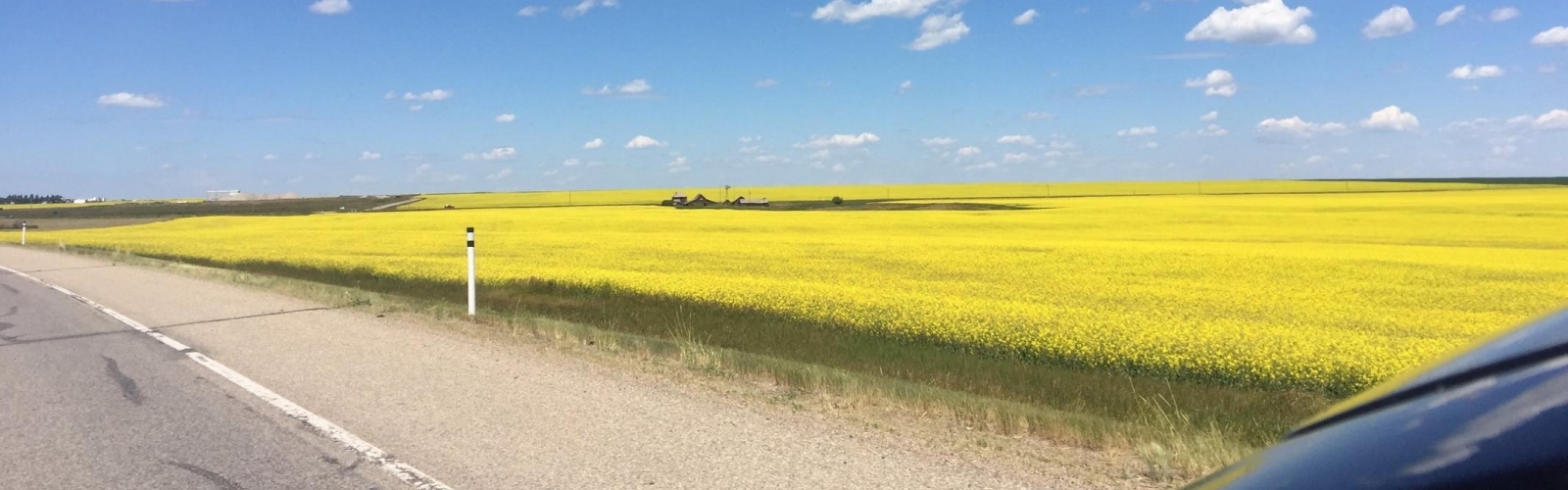
Measure fields with high accuracy by ATV
Let’s put things right!You’ve been working with GPS for years, but still haven’t reached the peak efficiency of your system? Or have you just started working with GPS and haven’t you got all of your farm land already digitally mapped out?
In either case Hadderingh Agro Support will provide you with the right solution. With the use of a fully equipped ATV, we are able to measure your fields with the highest level of accuracy and put everything right in an instant. Unnecessary AB lines are history and your field border acts as the reference for all your operations. By exporting all the information to different export methods, it’s possible to communicate with other brands of GPS systems.
What we do?..
We will bring accurately all your fields into maps and lay parallel to each boundary an AB-line or curve. This line is laid always at the boundary, so you can calculate the right offset of the first line of each implement. In this manner you have a minimum of lines at each field and you have a clear overview of all your surfaces. This all we do with an ATV, at which we can link multiple brands of GPS systems. Each system is connected to a level correction device, so we are able to reach the maximum level of accuracy.
When all field have been measured, we will work with you to backup all the current data and add the new data to it. If necessary redundant data will be erased, so your system is cleaned up again. At the end you will receive an USB flash drive with a backup of your data. This backup is also stored at our server.
Who is interested in your data?..
Precision farming has taken a massive sprint in the last couple of years. On almost every farm nowadays a GPS system is present or start thinking about using one. The data which you create by field mapping is not only relevant for you as a farmer, but also for the government. The surface and location determine the (im) possibilities of a field and the level of subsidiaries.
What should I prepare?
As a user of a GPS system it’s important to think carefully about how the structure all your fields. Think about naming fields and guide lines. For each user it must be accessible and understandable. To transfer all the relevant information to us, it’s important to have clear overviews with this kind of information. In this manner we are able to work efficiently and we need your attention as minimal as necessary during our job.
"Plug and play".
At this moment we are able to link three different types of GPS systems to our ATV. These are the brands SBG, Trimble and Topcon. Every brand has been build up specific according to the demands of each brand. It's just a manner of "plug and play".
If your system hasn't been named above, don't hesitate to contact us so we can talk about the possibilities.